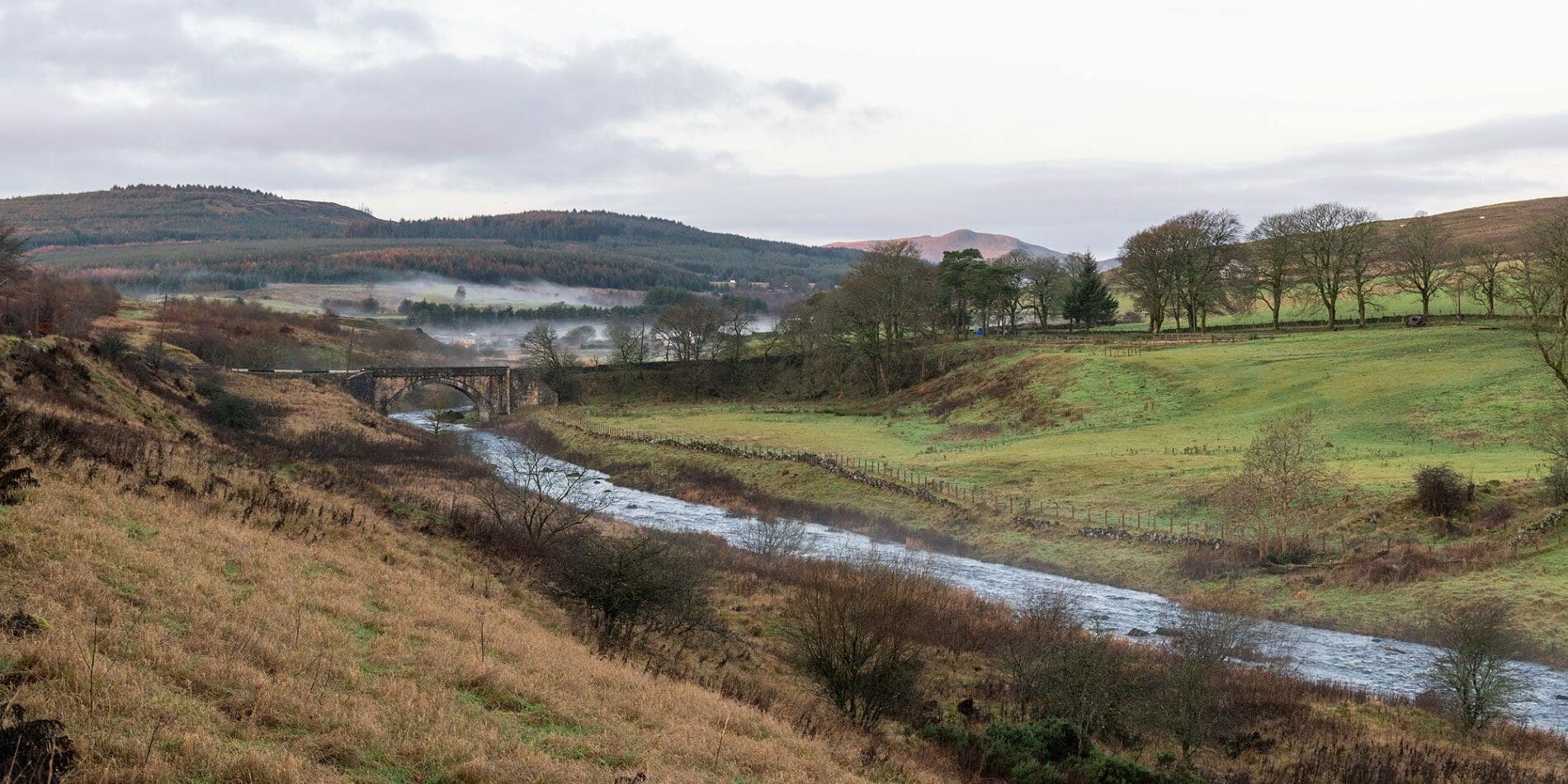
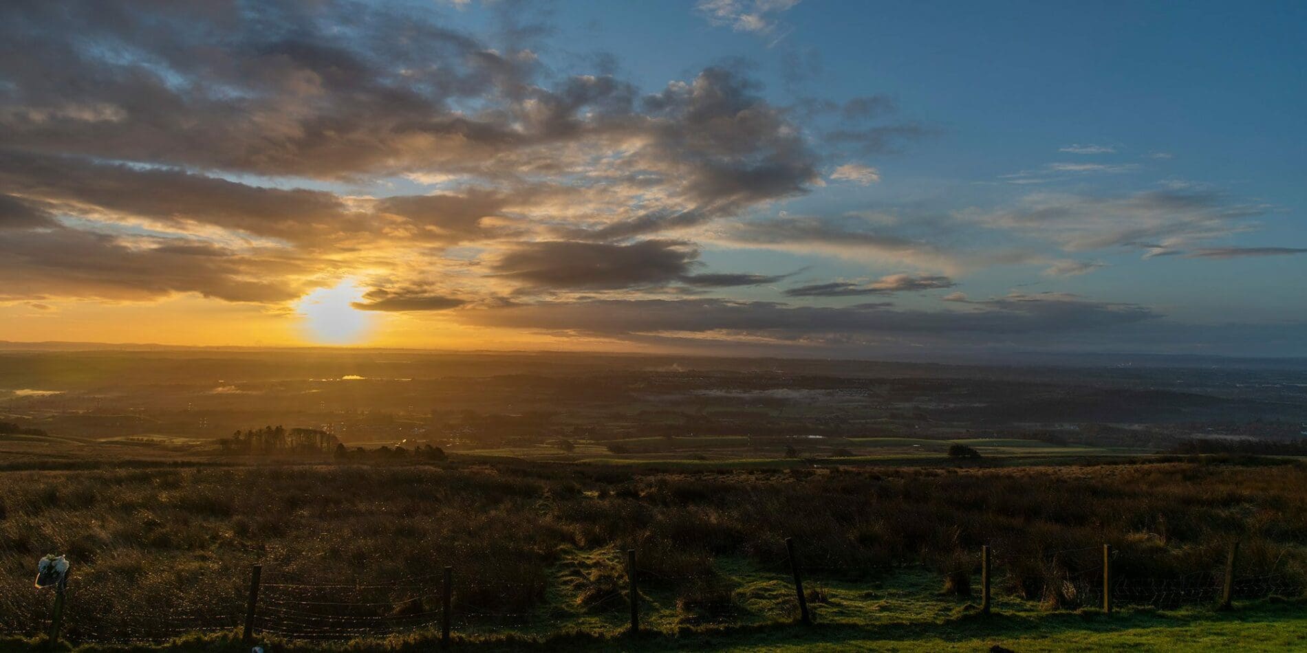
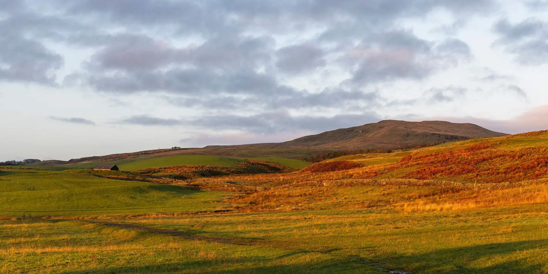
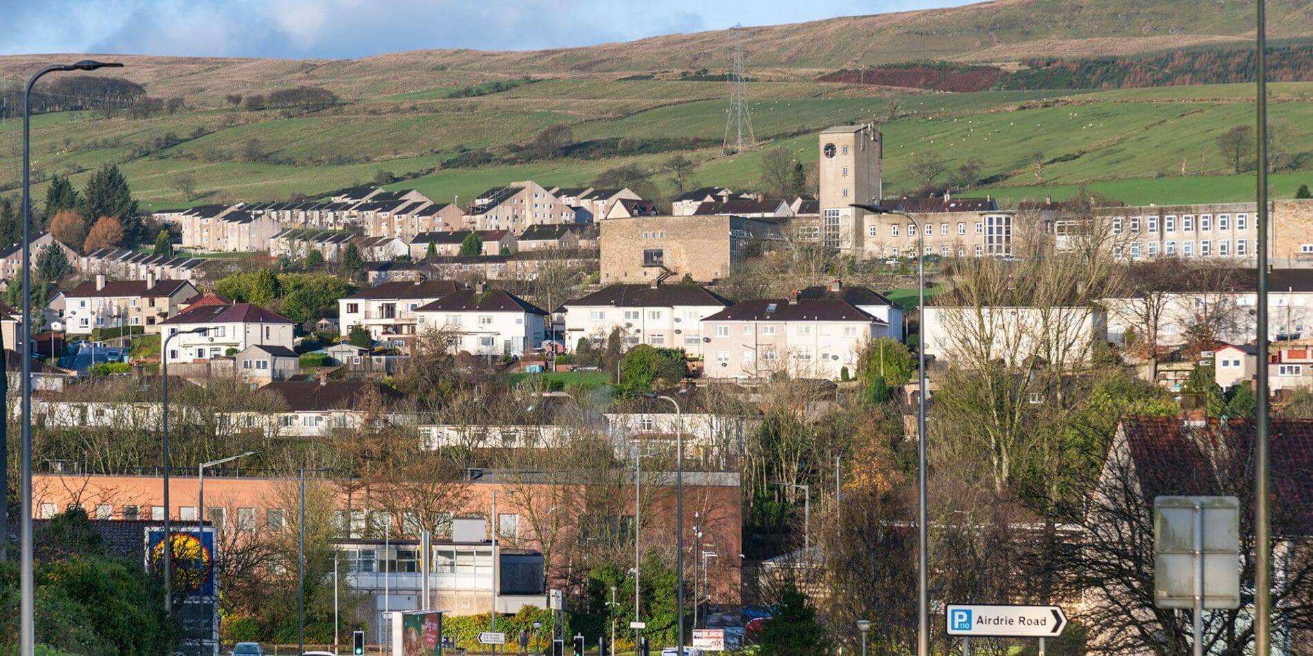
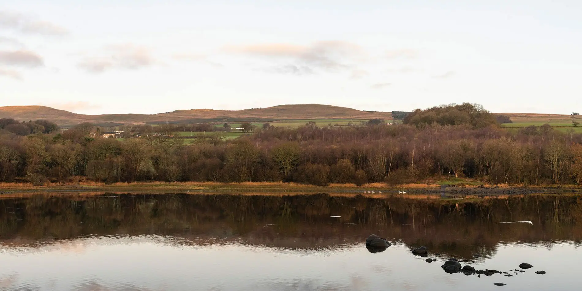
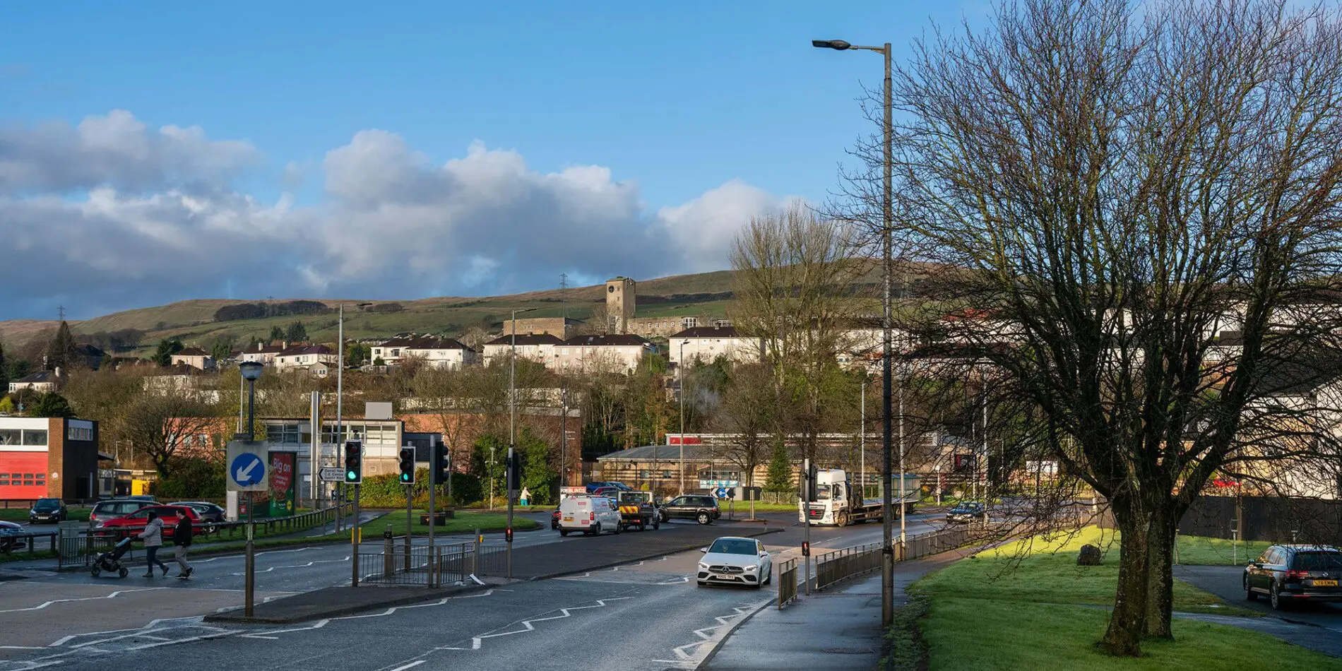
Kilsyth is the most northerly town in Lanarkshire, nestling in the scenic countryside at the foot of the Kilsyth Hills. As well as the Antonine Wall and Colzium House Estate there are numerous walking, cycling, and equestrian trails, angling in the many rivers, canals and lochs in the area, and canoeing and cruises on the Forth & Clyde Canal.
The town of Kilsyth developed in the Middle Ages along the banks of two small rivers, the Garrell Burn and the Ebroch Burn, and one of the earliest maps is dated around 1590, by Timothy Pont and is published in Blaeu's Atlas of 1654. By the middle of the 17th century, with the expansion of the two hamlets of Burnside and Monyabroch the new town of Kilsyth was growing on ground to the south of the burns and which eventually developed into the present-day Main Street, the town’s Conservation Area.
1645 saw the great civil war and the Battle of Kilsyth, where Covenanters under General William Baillie, were defeated with dreadful slaughter by Royalists under James Graham, Marquis of Montrose. Baillie escaped with his life but more than a hundred years later, during the cutting of the Forth and Clyde Canal, the bodies of several troopers, one still seated on a horse, were recovered from the area.
In 1716 the world's oldest known Curling club was established in Kilsyth and is still going strong today. During the 18th century, the production of linen and cotton weaving were the principal industries in Kilsyth. Industrial growth and trade were assisted by the arrival in 1758 of the Edinburgh to Glasgow turnpike, (toll road), and in about 1790 greatly helped by the opening of the new Forth and Clyde Canal, giving easy access to both West and East Coasts. In 1789 the local estate factor, Robert Graham, planted half an acre of ground with potatoes on a croft at Neilstone to the north of the town of Kilsyth, and this is the first account of the commercial cultivation of potatoes in Scotland and excited considerable interest.
There were serious disturbances in Kilsyth in 1797 in opposition to compulsory military service with large numbers of weavers mobbing a district meeting. Many of these disturbances were organised by early forms of Trades Unions and workers' democratic societies. With the military called in, order was restored through force. In 1820, serious disturbances erupted again, with disastrous consequences for many of those involved in the new movement for popular democracy and workers’ rights.
Towards the end of the 18th century, the local hand loom industries were complemented by the expansion of quarrying for building stone for the growing cities such as Glasgow. In the early 19th century industry also extended to extensive lime and sandstone –workings, and iron and coal mining, the latter becoming the major industry in the area at the time.
Most of the grey-buff and red sandstone town centre that can be seen today was built in the latter half of the 19th century. Elegant shop fronts survive at 40-42 and 55-63 Main Street. Many of the doors and windows are original. The Market Square originally served as the focal point of the town. The Barony Court House was demolished in 1860 to make way for the present Market Chambers. The square retains an ornamental water pump dated 1869. The old part of the town reflects the medieval street pattern, with many narrow lanes and wynds.
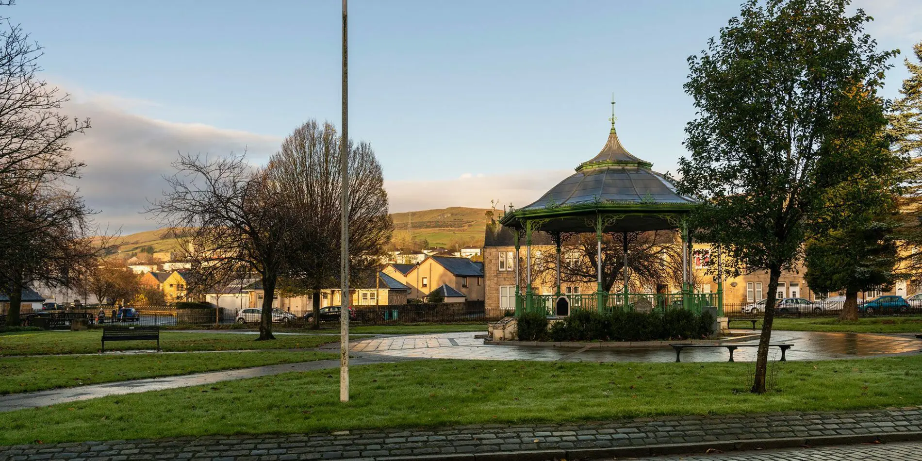
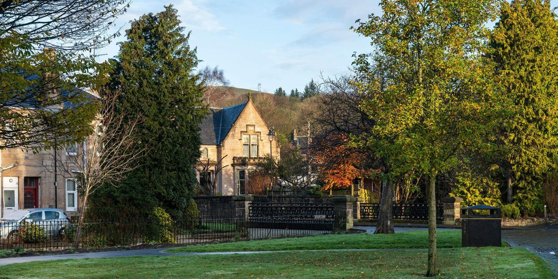
The inauguration of Burngreen Park in 1910 with its formal planting, elegant ironwork railings and bridges, and ornamental bandstand marked a high point for Kilsyth. Around Burngreen the form and shape of the wide boulevards, formal gardens and elegant villas is in marked contrast to Main Street. In 1920 the town of Kilsyth went "dry" as part of the prohibition era and stayed dry until 1967!
The 1940s until the 1960s saw a gradual decline of the mining industry, as small local coal seams were abandoned as being uneconomic. Light engineering and a more diverse industrial base created new industries and opportunities for the town.