
- Plan your trip
- Routes & guides
- Clyde Walkway

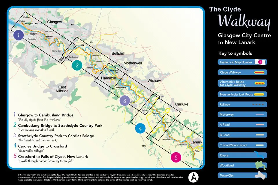
Clyde Walkway
Clyde Walkway is 40 miles long and passes through much of Lanarkshire’s remarkable scenery and landmark attractions.
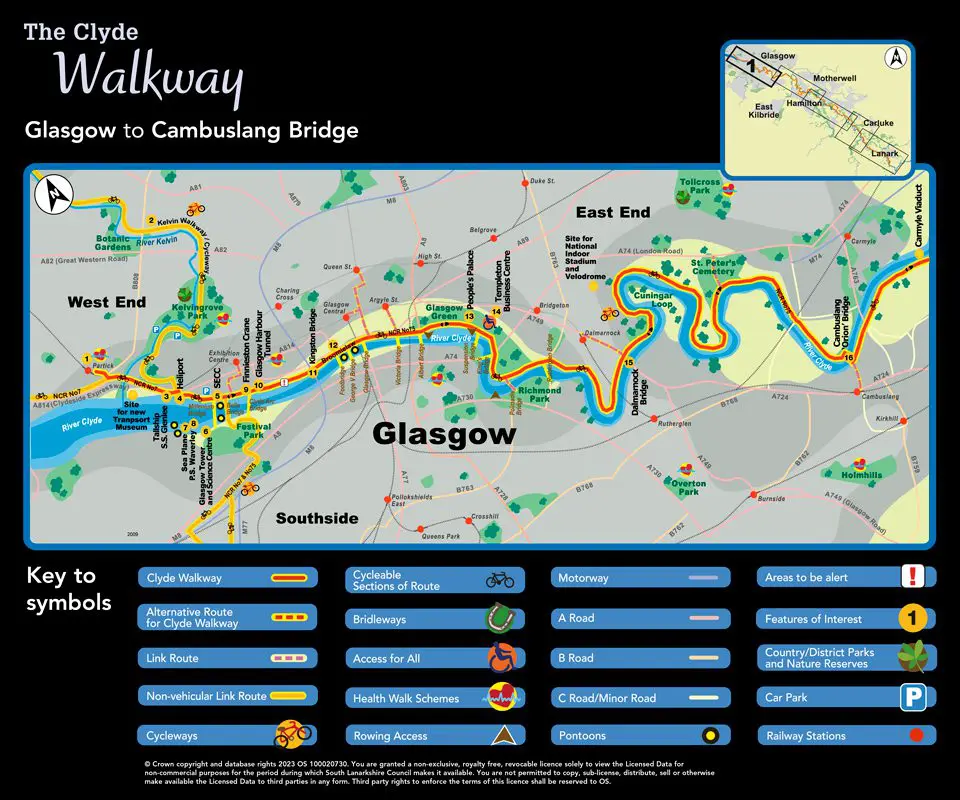
The route begins in Glasgow’s West End where the River Clyde meets the River Kelvin and it then runs through Glasgow Green and the Broomielaw and through to Cambuslang.
From here, the route continues through Uddingston, Bothwell and Blantyre where it meets Strathclyde Country Park.
Running down the banks of Strathclyde Loch and continuing along the River Clyde to Garrion Bridge, this is where the walkway enters woodland and farmland making it a scenic route before heading into the villages nestled within the Clyde Valley, from Dalserf to Rosebank and on to Crossford which is situated in the heart of the Clyde Valley. It is here that the route runs through spectacular wooded gorges, and on to New Lanark World Heritage Site and the Falls of Clyde.